
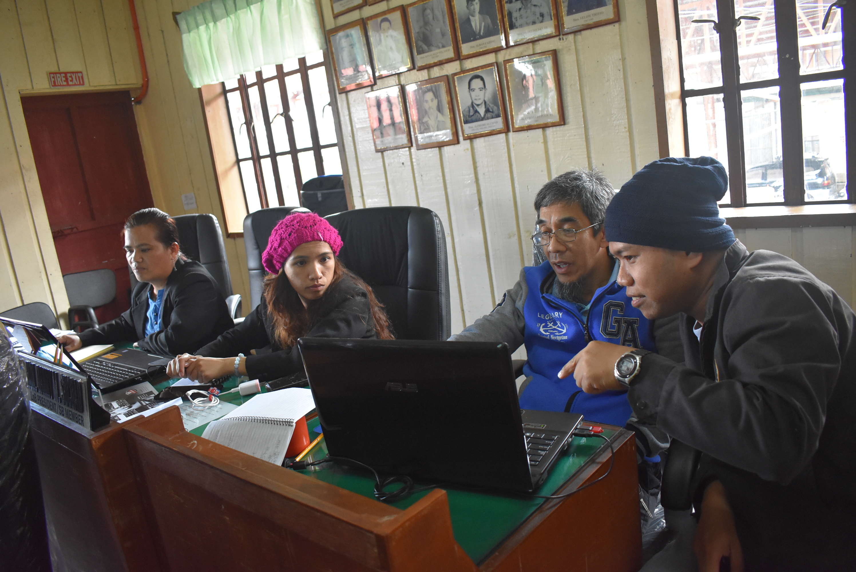
 For the last two months, the GIZ project team was on the move to the different 13 municipalities to conduct coaching and mentoring sessions. The coaching and mentoring sessions aimed to help the officers and staff involved in the municipal planning and policymaking to be more accustomed to creating reports and maps using the Quantum GIS (QGIS) and various data they have on their municipality.
They are expected to come up with several maps that reflect indicators on SDG 1–No Poverty, SDG 3 –Good Health and Well-Being, SDG 4 –Quality Education, SDG 6 –Clean Water and Sanitation and SDG 15–Life on Land. The data on poverty will be used as a base map for all other SDG indicators.
Prior to the coaching and mentoring sessions, these staffs have undergone two training on GIS and another two for visualization and data analysis. The planning officers will be present their outputs to the community for data validation and planning. After the community presentation, the maps will be presented to the local executives of each municipality for the identification of possible projects and interventions for the gaps identified in the maps.
The maps will be consolidated and will be uploaded to the GIZ project website.
“Mobilizing Investments and Community Participation in SDGs through GeoMapping in the Philippines (GIZ Project)” is a one-year project implemented by JVOFI and under the 2030 Agenda Transformation Fund, a new fund commissioned by the German Federal Ministry for Economic Cooperation and Development. The project aims to mobilize domestic resources and private investments for sustainable development through the development of partnerships between academic institutions, private sector networks and the government for the implementation of pilot development programs in specific communities.
